Hi there,
I'm working with the image.manual recipe for critical infrastructure segmentation (e.g. storage tank, clarifier, and sanitation components of a water treatment facility) using aerial imagery. The image patches are large (footprints width and height are about 0.5 - 1 km).
I'm running into a problem with training because the segmented features are small relative to the facilities as a whole. Basically, the weight of the annotation bounding boxes is so thick that the images become impossible to see because so much of the image is dominated by the bounding boxes themselves.
My question... has anyone found a way to adjust the displayed line thickness, or does anyone have an alternate solution? I've included a screenshot below in case it's helpful.
Thank you!
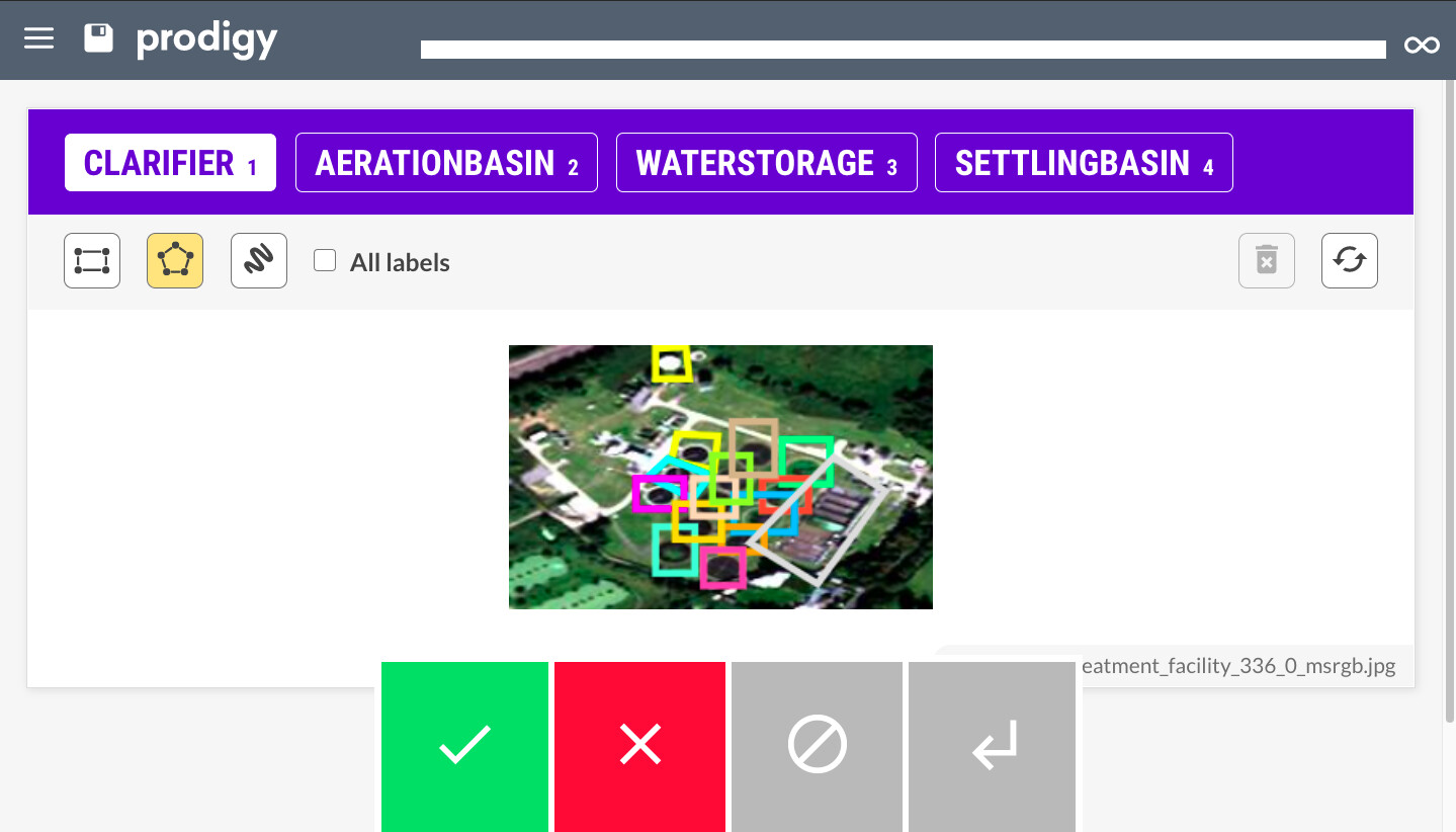
 It takes a number defining the line thickness in pixels. Also see here for the other available config options for the interface: